The morning dawned cloudy and rose-tinged, the weather holding. We filled our pockets with all our remaining snacks, hoping to move efficiently enough to make it over Down’s Mountain before noon. I toasted the Sourdough Glacier with my cold, gritty coffee, a promise I’d be back.
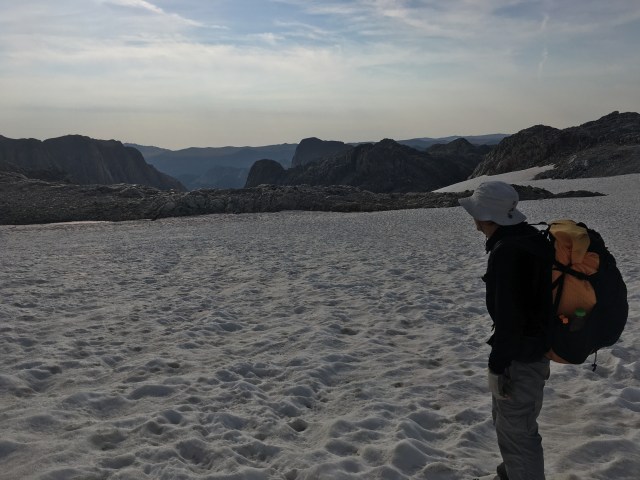
The ascent onto our 5 mile Divide stroll was pretty straight forward, the navigation simple. The snow was still solid as concrete, although grippy enough from ice crystals and encrusted grit that we saved a few minutes by forgoing our spikes. We passed just above a set of paw prints my brain automatically labeled mountain lion; I knelt to take a quick picture, and realized something was odd about them. I couldn’t put my finger on what, though, and it was too icy to step down the angled slope and inspect them more closely without taking the time to spike up—time I couldn’t justify. So I snapped a couple of extra photos to enlarge later, noticed the tracks continued on, unwavering, for quite a distance, then went on myself.
Laboring up suncups like an eternal staircase brought us onto an open gravel plain with incredible views. A 13,000+ foot “talus pile” jutted unappetzingly in front of us, but luckily, our route would skirt it. (Last night while reviewing the maps for today, we’d seen the red dot and its label. “I’m sure we go up there,” Prana had said. “Why else would it be a dot on the map?” “It’s so unintuitive, though,” I countered. Let’s see what Spiderwoman says.” We read her cached blog, which revealed indeed, it was only marked as a point of orientation. Unending thanks to Spiderwoman!)
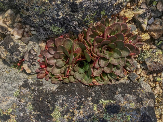
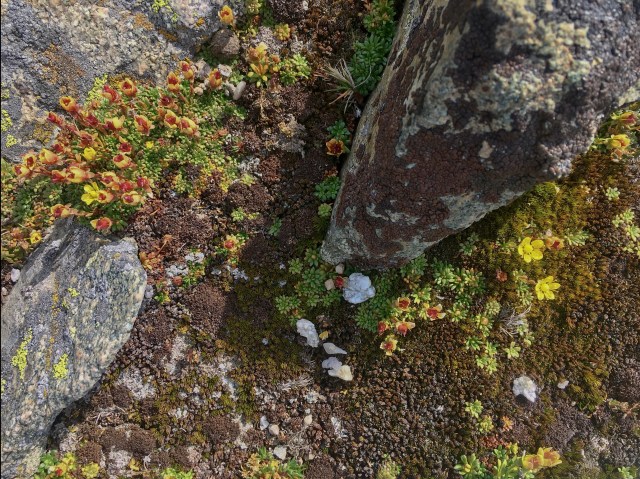
We talus hopped and suncup slogged our way around the pile, some of the suncups the size of a basin I could lay down in, until a broad lunar flat spread before us; although for its lunar description, it was the first place we’d seen plants since leaving the grass around Baker Lake: bouquets of succulent rosettes and gardens of moss bejeweled with tiny blossoms. Bighorn sheep prints impressed everywhere in the soft, sandy mud, and we sat just long enough to filter a gallon of water, uncertain when the next easy place to collect would be, watching the still-docile sky for any sign of curdling.
To the north were the impressive frozen waves of the Northwest Peak glacier; could that one be ‘toured’? More to research back home. On with the talus hopping!
We hopped and stepped and balanced and hopped our way parallel to the long southern ridge of Downs Mountain, slowly rising. The Bear Basin, an upper feeder of that Buenaventura, the mighty Green River, gaped below.
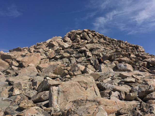
The closer we got to the summit ridge of Downs, the more distorted and difficult to pinpoint the true peak became. We topped a lesser shoulder, where a pocket of snow trickling deep into the talus echoed music like a duet of xylophones. Just when I was certain the talus fields had become a Sysephean tread mill we would hop forever, the sub peak distinguished itself, and behind it, the barely-higher main peak. And then we were there.
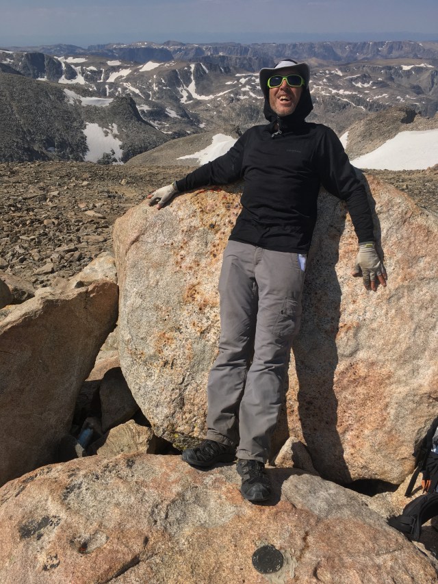
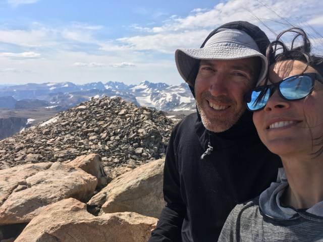
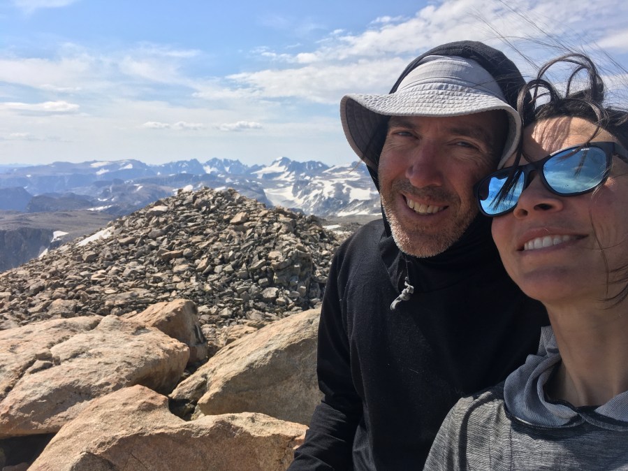
We curled up the last few large boulders as if ascending a spiral staircase to a watchtower, and stepped onto highest point of Downs Mountain and into the rushing wind. Downs Mountain! The northernmost 13er on the Continental Divide! I looked longingly north, not ready for the adventure to be wrapping up, then turned south, laughing and giddy over all that stretched behind us. To the east Goat Flat lay revealed, a weirdly flat plain of infamous tedium and our gateway from this enchanted land.
We recorded summit pictures, sat in the sun, read the fine print on the USGS survey marker. Only a 250 dollar fine for removing it. What a quaint amount. Prana fished in a crevice and pulled out a gatorade bottle, strangely darkened and deformed. “How would that get too close to a fire up here?” I asked, just as it struck me: lightning! The bottle had hosted electrical current more than once from the look of it.
We took once last look around before starting the descent, pleased to be leaving 13,000 feet before noon, scrambling down boulders and weaving between pockets of ice. A giant snowfield covered a wide swath of the east face. We picked down bordering talus.
“Whoa, where did that come from?” Prana asked, and I looked over my shoulder towards Downs to see the mountain crowned with a dark, dense thunderhead. Only 20 minutes ago, the sky had begun to cloud, but devoid of anything that looked like that! “I think I’m going to head down the snow, what do you think?” he said.
I peered down. The sunups were gigantic, but it looked so steep. I have got to get more snow travel experience, I chastised myself. In a controlled setting. Before I need it. “I think I’m going to stay on the rocks,” is what I said out loud. “It’ll take me longer but at least I’ll be confident.”
The first peal of thunder cracked, echoing over Downs. “This will be a lot faster,” Prana said, gesturing at the snow. “Come on, come with me.”
I was torn- I knew I would likely become terrified, that I would undoubtedly spend time later second guessing myself for simply following rather than executing the choice I would’ve made if I’d been by myself. But…it would be a lot faster. I followed Prana onto the snow.
The suncups were enormous, a slushy layer blanketing an icy foundation. I lost my footing a couple of times, but slid to a stop, always caught by the next suncup. The terror pulsed, but was short lived. “Let’s try sliding,” he said. “We can each use a trekking pole like an ice axe.” We seemed to be entering a steeper aspect of the face, and the snowfield ran out far below. “Mmmm…” I hedged. “Watch,” he said, and took off. The suncups, staggered against themselves, slowed him down enough he barely had to dig in the trekking pole to stop. I followed, and indeed, the surface was so slow in spite of its steepness, I practically had to paddle myself downhill with my hands. As the face steepened further and I relaxed, I realized I was having fun, even as my butt went numb and was grated by the snow.
Standing up at the bottom, shaking ice out of my pants, I was grateful we’d saved likely an hour of effort as the bruised stain in the sky had doubled. We set off immediately for No Man’s Pass, more a slender bridge from the official high country onto Goat Flat. Not far past it was when the first bolt of lightning tapped the top of Downs and curtains of rain swept toward us. “Hey, there’s some places to crawl into these boulders,” Prana said, “want to wait it out for a bit while we eat lunch, see if it blows through?”
We ducked in and the rain pelted down, collecting and running along the undersides of the shelter. We huddled and held exact contortions, so the drips would fall around us. Before long it let up. Prana climbed out of our makeshift cave to report the cell was moving on, but another had appeared atop Downs. No point to keep waiting, then.
Goat Flat was as devious as its reputation. It was so huge, the smallest swells in the topography would nudge and prod you off your line, as if gravity pooled differently here. The ground pattern didn’t make it any easier, long strips of tundra alternated with long strips of talus, and no matter which direction they unwound, we always needed to be walking almost, but not quite, perpendicular to them. I took the lead, checking the GPS and re-selecting my guiding landmarks every 10 minutes.
A second storm cell swept through, showering rain and hail. Lightning flashed over Downs mountain again. Thunder whip-cracked from somewhere further north. A third storm swept through, gusting icy rain sideways. We continued the steady trudge, for hours. The far end of Goat Flat drew slowly, slowly closer, until we were finally dropping along the spiny ridge that signified our proximity to the Glacier Trail, and ease.
The sun beamed out as we reached it, and we stripped off rain gear and sprawled, beat. The tread was worn into a ditch, from countless pack animals hauling loads in and out to the base of the Dinwoody Glacier, and we roused ourselves, with only a couple of miles until we reached water and camp.
The sky darkened again as our target stream appeared, and we kept a sharp eye for the camp described in our notes. What we found didn’t match, but it would do; the sky was blackening again, and we were both losing the will for anything but collapsing in the tent.
We pitched, cooked, filtered, and prostrated in a numb haze of exhaustion. We’d done it. We’d completed the High Route. I mean, we still had 7 miles of well-worn trail tomorrow, but we could crawl those if we had to.