5/3
It was humid and cold by the magical creek. A big pot of coffee jumpstarted the morning, then we drank as much water we could hold, which wasn’t much before getting ice cream headaches. We’d decided to wager on water in Burnt Canyon at 34 miles; if either of our walking mechanisms broke down, be it from blisters, missteps, or a strain -all more likely with a heavier pack- it would be more problematic than not finding water.
As we climbed from Sapillo, the canyon revealed even more creek looping upstream of where we’d encountered it. A riparian ribbon of paradise.
Of course in the full sun it was much hotter than the damp shadowed canyon, and I immediately second-guessed our plan. Our packs were so heavy- 15 pounds of just water each- but there was no plan B. My brain furiously and obsessively crunched numbers for the first couple of miles, all uphill, and I tried to keep a steady pace I could breathe through my nose, instead of panting out my precious moisture.
An hour of grinding and my brain exhausted itself, and a half mile later we precipitously dropped into a series of canyon heads. One supposedly held a pool of water “upstream of an elk carcass.” Each appeared dry, until one in the middle was floored with green, green grass and legitimate mud. We split up, and no carcass, but found small, usable pools both up and downstream. I felt as relieved as if we’d already found water in Burnt Canyon – if it was still here, surely it must still be there.
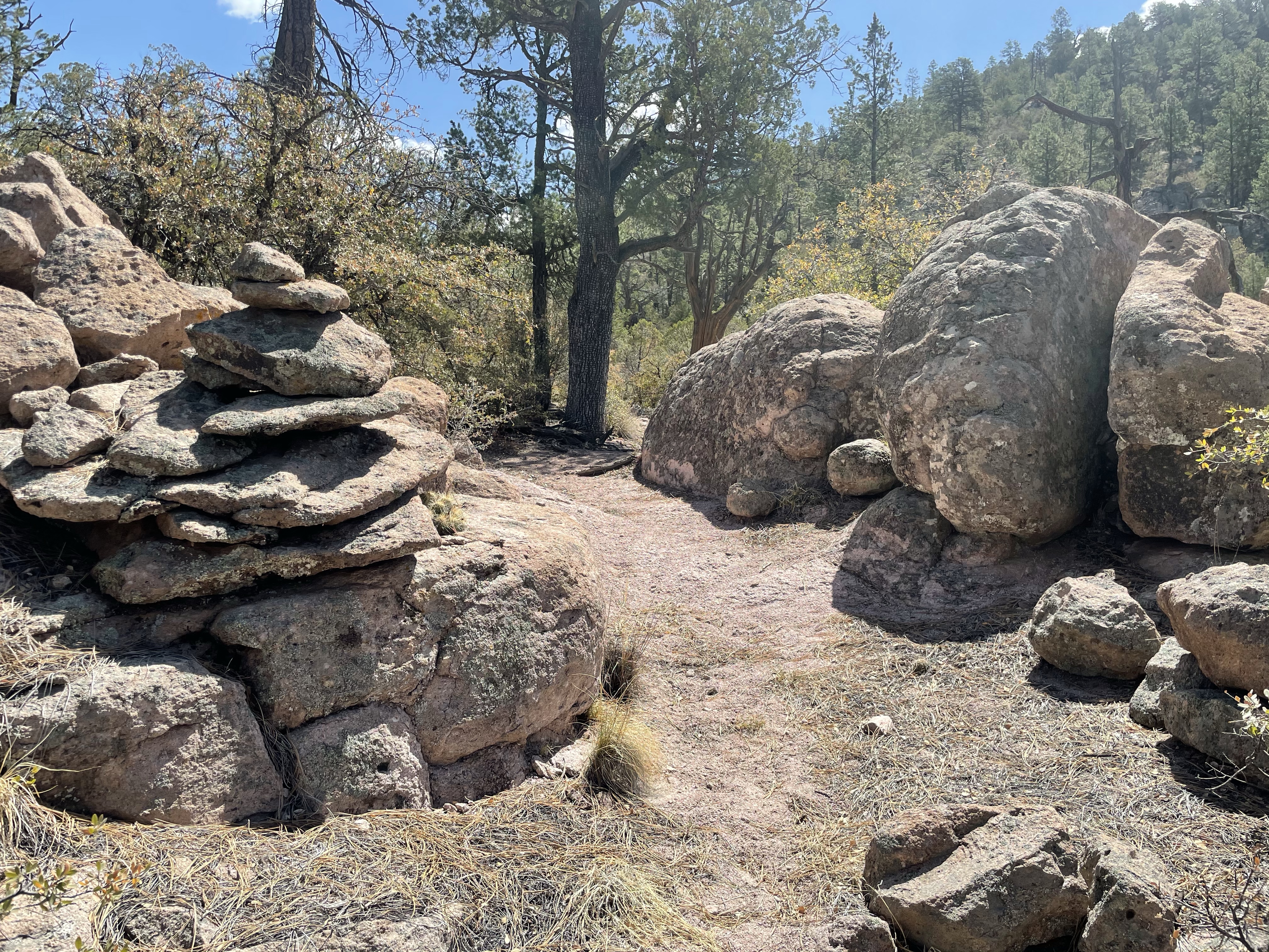
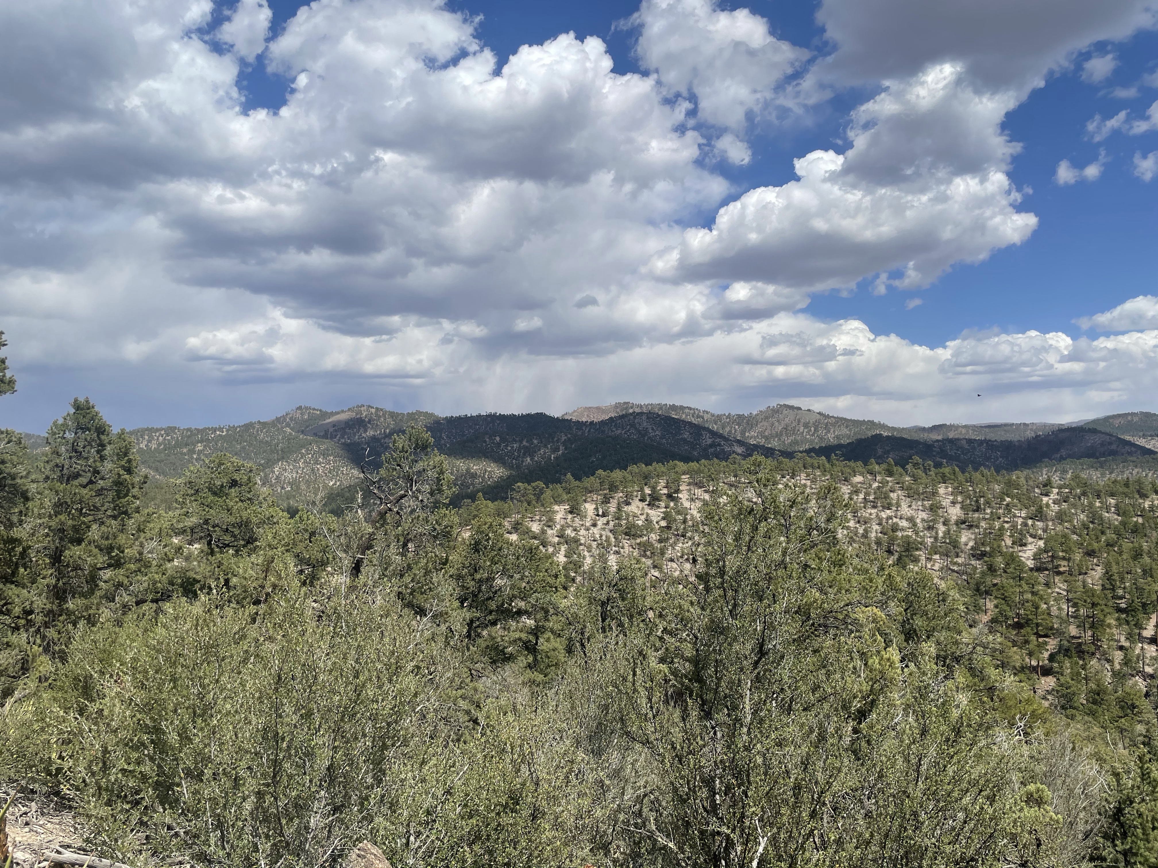
We filtered and drank another liter each, mucky though it tasted, and carried on. The trail was gorgeous and as it crossed bare bedrock and worked up a series of ledges. Prana spotted another bear print on the trail, this one much older than the others. Across pine and grassland and exposed rock swatches, sometimes white and cream, sometimes pink. In between, the ponderosa savannahs were carpeted with thick, straw colored grass, predominantly gamma, fields of blonde eyelashes. What a delight! My chest ballooned with joy. I was so glad we chose to come this route.
The afternoon unexpectedly clouded and cooled, became almost chilly, which made our ration of half a liter every four miles almost adequate. The trail, and the universe, provide again.
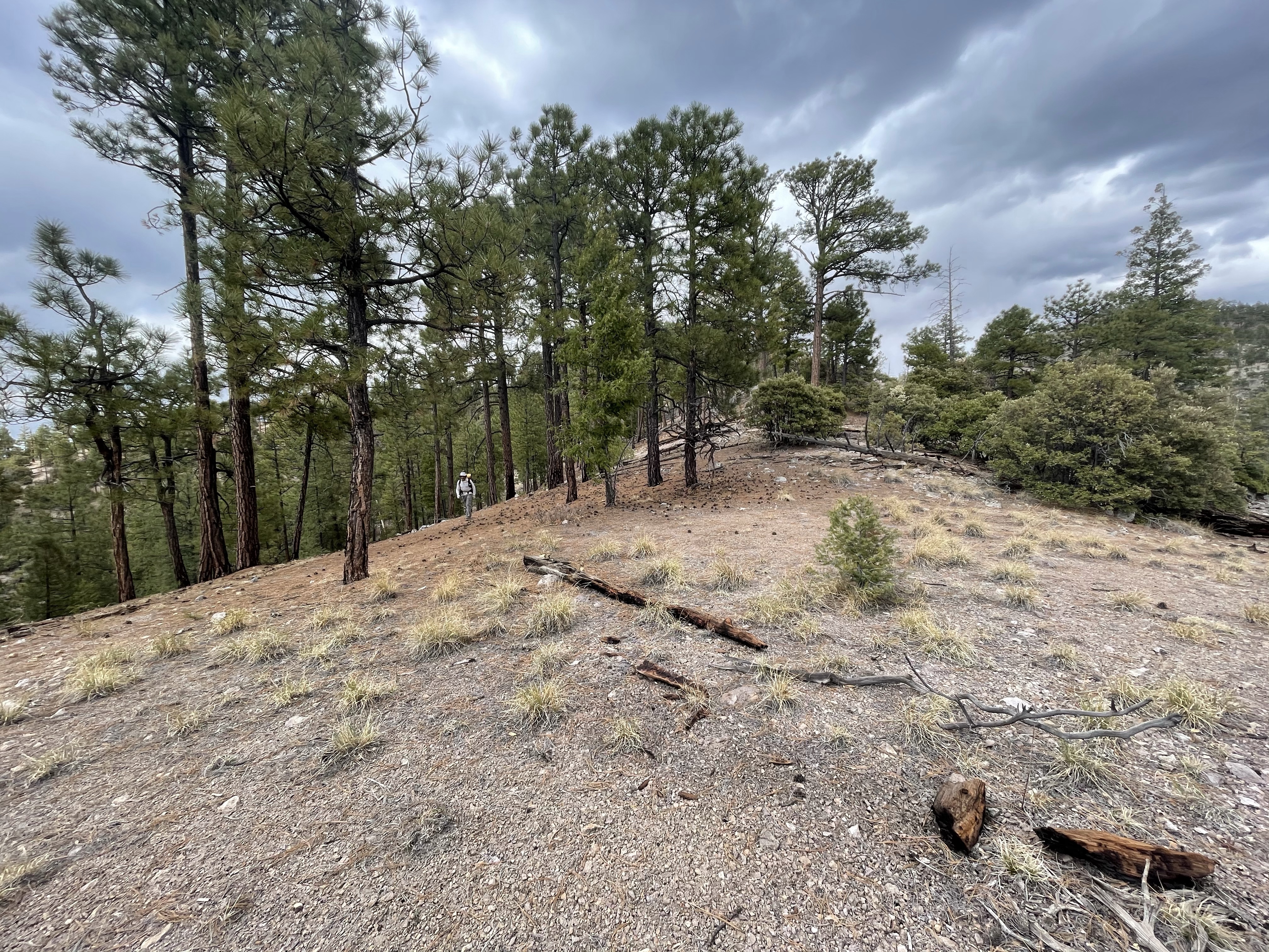
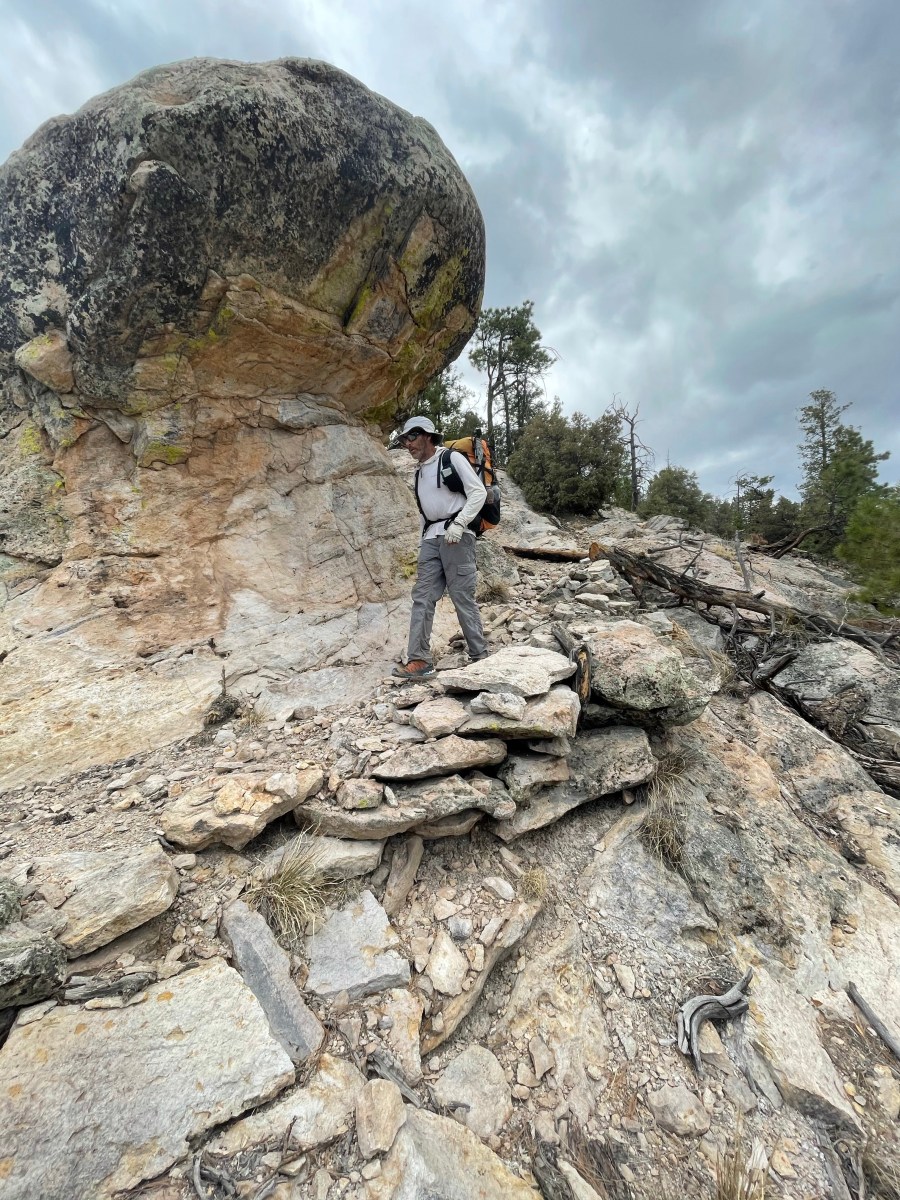
Eventually we crossed out of the Gila Wilderness via a series of catwalks cut in the hillsides and walked through a series of gorgeous ridge tops and switchbacks underpinned with impeccably built masonry walls and buttresses. “This is so rad!!” I exclaimed to Prana, to the mountains, to the wind.
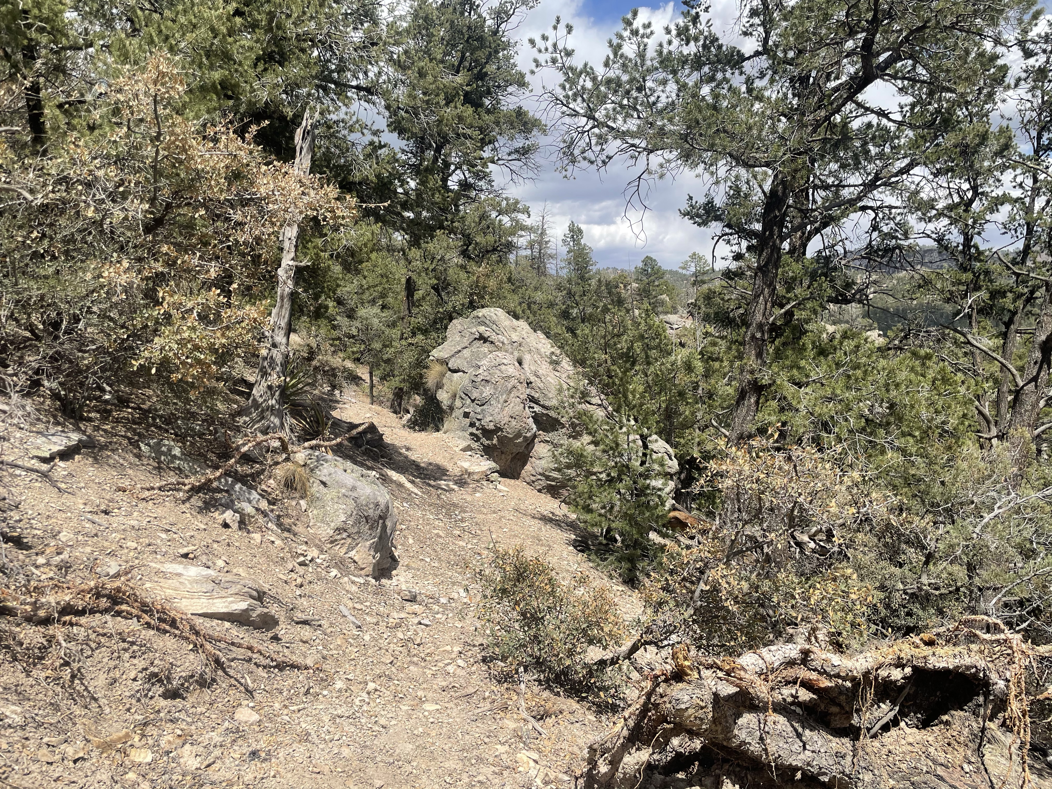
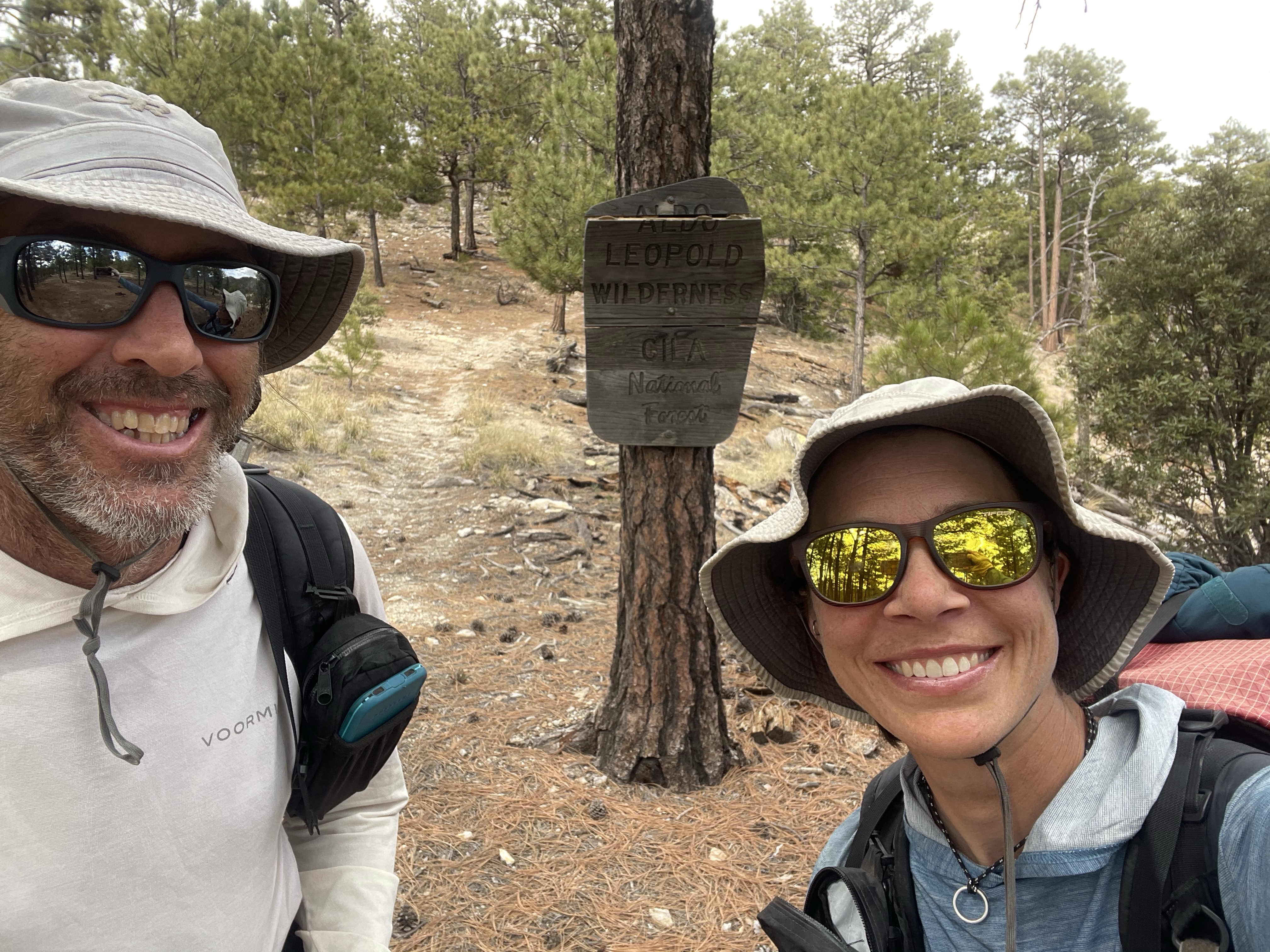
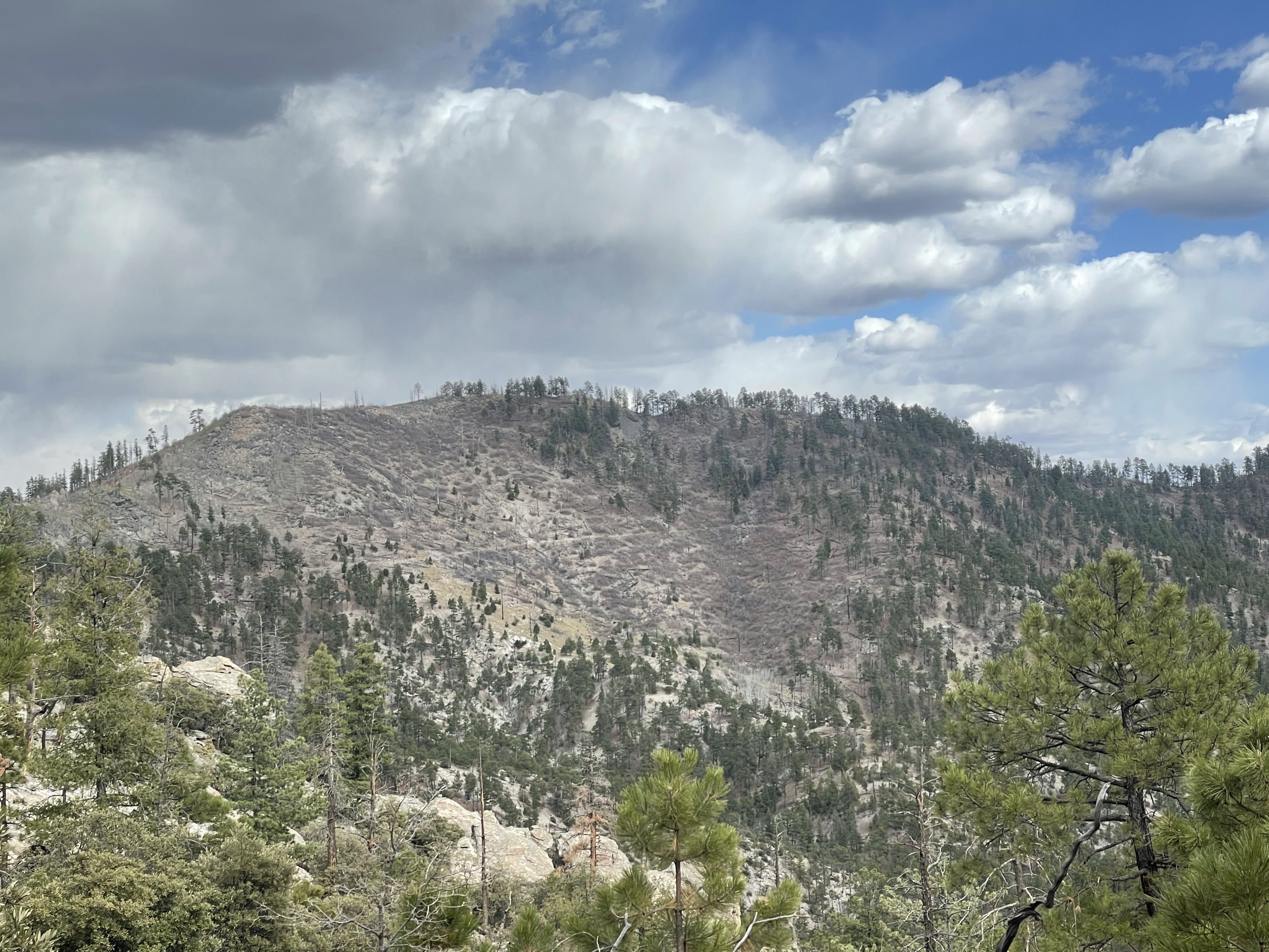
The heavy packs slowed the miles, discouraging only because I wanted to take more breaks and photographs in this impressive area. We entered the Aldo Leopold Wilderness and wound through a few more ridges before sidehilling the front of Rocky Point, fully exposed to the wind and battling locust brambles sprouted from a recent burn. A sign at the boundary to the Aldo had warned of poor trail conditions due to fire damage, but not where they would be.
On the lee side of the mountains, where trees had fallen across the trail, we karate kicked branches to make our way through, gambel oak sprouts and more locust encroaching from both steep sides.
We reached Signboard Saddle around 6, and seeing our high route guaranteed no flat spots out of the wind, opted to cook a quick dinner trailside before heading up. “This sign is weird,” said Prana. “Why does it say New CDT and point down Aspen Canyon?” He pulled out the map. “According to this we go straight across this 4 way intersection.” In that direction a very new looking sign was bolted to an oak. “Trail Not Maintained and Dangerous.”
These CDT maps have sure left a lot of accuracy to be desired. We usually try to only look at comments for water, and avoid opinions about this or that trail section, but with no other recourse, Prana opened his map app. The comments, which we’d scanned when looking for water, suddenly made sense in opposite, like seeing the two faces when you’ve only seen the candlestick. The high-crest route, which we’d been anticipating with such relish, was not a new section of CDT. It, we pieced together, was rendered reportedly impassable by fire sometime in 2019. The new route was to drop down Aspen Canyon, and ascend back up Black Canyon, an equal number of miles.
We wrestled with the question: but what is impassable? To some the Black Range itself is deemed impassable due to long water carries and sparse information. One comment, alluding to 2 days of trying to cross the thirteen mile crest section, tearing through thorny locust regrowth and ending in a complete retreat, sealed our decision.
“Yeah, probably best to go the new CDT now.”
“I really want to go up high, but that’s because I pictured it being more of these awesome ridges we’ve been on, not struggling through a crumbling burn.”
“We can always talk to the ranger district and make a route that includes it and come back sometime.”
“Yeah, for sure.”
“I guess it’s all new anyway, huh? We’ll see what’s down in these canyons.”
Fortuitous then, that we stopped for dinner when we did, rather than barreling on.
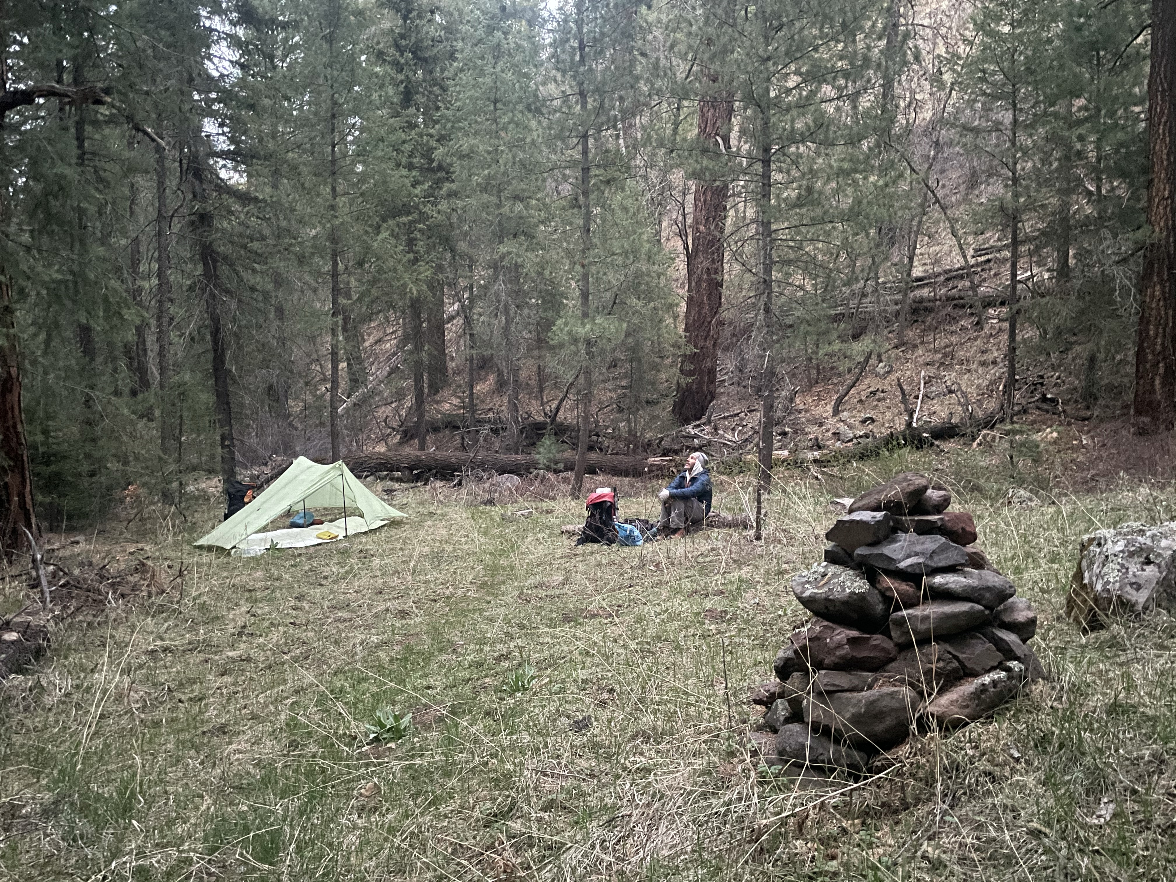
Dropping into Aspen Canyon was bizarre, like a portal to the Pacific Northwest. Moss covered trees and rocks. Fungus sprouted from the ground and logs. Lush green grass and delicate flowering plants filled the narrow canyon floor. The air wrapped around us, damp and clammy, like a cave. We made it a couple of miles to the first vaguely flattish spot, and pitched the tarp in the last of the light.